Andrews Bald
| Trailhead Coordinates | 35.556956, -83.496268 |
| Feature Coordinates | 35.538931, -83.493683 |
| Feature Elevation | 5920 ft (1804 m) |
| Hike Distance | 2.2 mi (3.5 km) |
| Elevation Gain | 960 ft (293 m) |
| Rating (out of 10) | 7.5 |
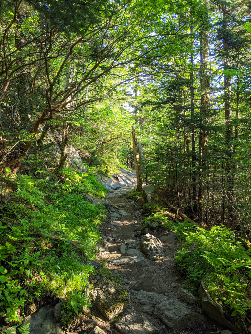
This is a very straight forward hike to a beautiful view, and I'll be surprised if you see more than a couple other people on the trail. The trailhead will be quite busy because it starts at the Kuwohi (Clingmans Dome) parking lot, which is a major attraction in the park, but once you start down the trail, you should be leaving the crowds behind.
It's a fairly easy hike, with the hardest part being the hike out because it is mostly uphill. The hike is a little more than 2 miles round trip and the elevation change is under 1000 feet, so as long as you are taking your time on the way out, it will not stress you much at all.
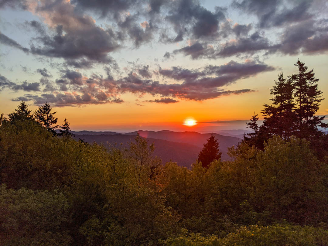
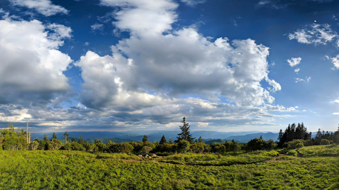
There isn't a whole lot to say about this hike or the views, they are very standard for the park, but being that you will likely have it to yourself, I consider it worthwhile. Although standard, don't take that to be mundane. The view will remove any questions you have as to why it is called the Smoky and Blue Ridge Mountains. It is a beautiful area for sure and would make for a great picnic spot if you are there in the middle of the day. I arrived at the trailhead less than 2 hours before sunset, so I didn't have enough time to sit very long.
As for my rating of the hike, the view is wonderful and it's a great place to take the pack off and take a lunch break, so I'll give it a rating of 7.5/10.