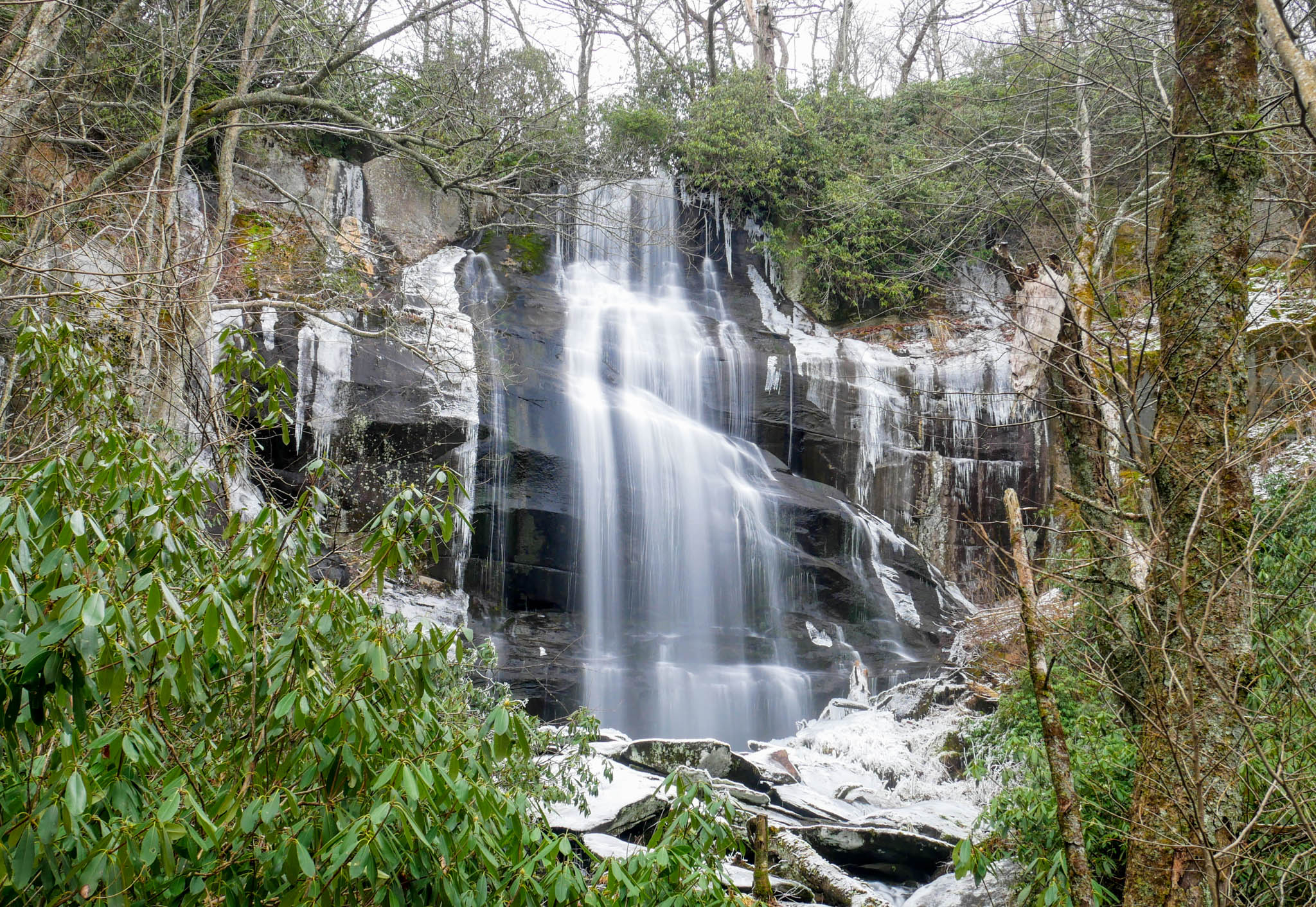
Falls Branch Falls

| Trailhead Coordinates | 35.34683896356954, -84.0611973971105 |
| Waterfall Coordinates | 35.35534967689048, -84.06461652572419 |
| Waterfall Height | 70 ft (21.3 m) |
| Hike Distance | 2.6 mi (4.2 km) |
| Elevation Gain | 500 ft (152.4 m) |
| Rating (out of 10) | 7.5 |
Falls Branch Falls is a beautiful waterfall located off the Cherohala Skyway near Tellico Plains, TN. The hike is 2.6 miles round trip, and like many other waterfalls I have visited, the hike to the falls is much easier than the hike back to the car, but it is well worth it. I was not alone as this trip as I had a good friend with me, and as you can see from the picture, we were braving the winter weather. This is a waterfall I'm sure to return to in the warmer months at some point.
I would consider the hike to be a solid moderate. A good portion of the hike is not difficult at all (in either direction), but it can work the lungs a bit making your way back out. The reason I place it squarely in the moderate category is because there is a fairly steep area just before you get to the falls. If wet, it could be a little tricky. There is roughly 500 feet in elevation gain, which isn't horrible over the distance of this hike, but a fair amount of it happens close the the falls. As I say with many hikes on this site, it's not difficult, but some may need to take their time.
During our visit, even with the cold and snow/ice, we were not the only ones on the trail. I suspect this waterfall hike would be more busy in the warmer seasons, regardless of the day One note I'd like to leave you is be sure to have a map of the actual location of the falls before you arrive. There is no cell service and the trail forks within a few feet of the trailhead. Just remember to turn left (northwest).
As for my rating of the falls, it was quite enjoyable. It's a good hike to get a bit of a workout, and the trailhead is easy to get to. Most importantly, it's a very beautiful and sizable waterfall. I would rate it 7.5/10.