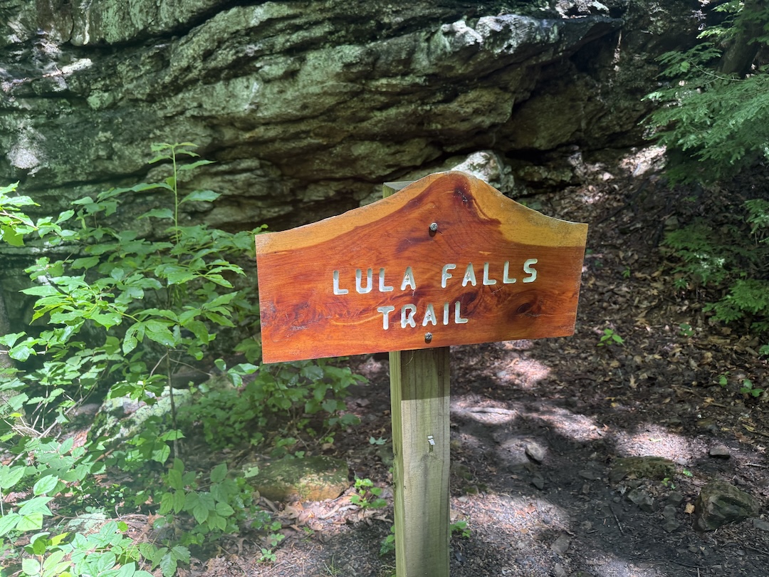
Lula Falls
| Location | Lula Lake Land Trust |
| Waterfall Height | 120 ft (36.6 m) |
| Hike Distance (Adventure Loop) | 6.1 mi (9.8 km) |
| Elevation Gain | 825 ft (251 m) |
| Rating - Lula Falls (out of 10) | 8.5 |
| Rating - Adventure Loop (out of 10) | 8 |
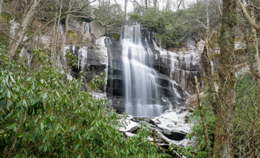
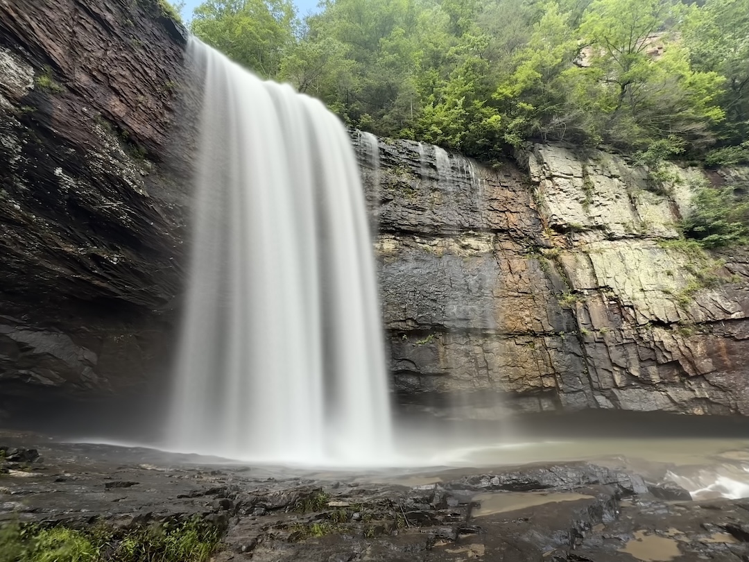
Lula Falls is a 120-foot freefall waterfall located on the Lula Lake Land Trust on Lookout Mountain in Walker County, Georgia. The property is private land opened to the public on the first and last weekends of each month, and a $16 conservation fee per vehicle is required, a small price that goes a long way toward keeping foot traffic at a respectful level. Plan ahead and make your reservation at lulalake.org before you go.
The hike to the falls follows a wide gravel access road for most of the descent, which doubles as the path to the handicap parking area closer to the falls and lake. It's not your typical singletrack experience, but the destination more than compensates. We'd had a good amount of rain leading up to my visit, and at 120 feet with the water flowing strong, Lula Falls was loud and powerful. I can't speak to what it's like in drier months, but on this day it was exactly the kind of waterfall that reminds you why you make these trips. There's something about standing near a large waterfall, the noise, the mist, the sheer energy of it, that never gets old. This one ranks among the best I've visited.
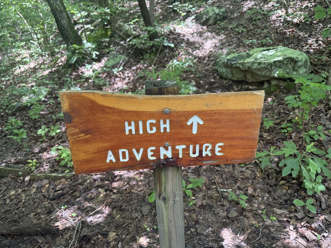
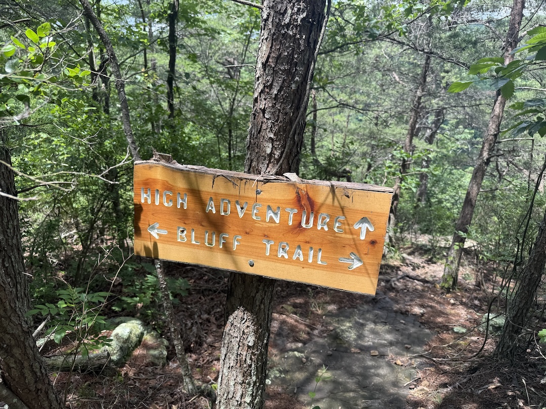
After the falls I tackled the Adventure Loop, which the Land Trust lists as 6.1 miles with 825 feet of elevation gain. The loop earns its name. There's a section aptly called the High Adventure Trail that includes a climb I'd estimate at 60 degrees or more, with ropes to assist, not something I was expecting based on the trail description. I did the loop in reverse from the Land Trust's suggested direction, which meant I went up the ropes rather than down them. Following the official directions would have made for a different experience.
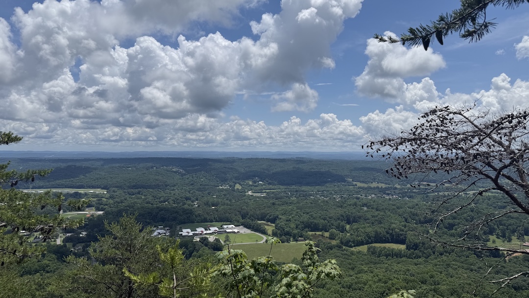
One stretch worth mentioning is the Bluff Trail. It's an enjoyable section with occasional views overlooking Chattanooga Valley, and the hiking is fairly easy along here. There's also a nice rest area at the intersection of the Bluff and Middle Trails, a good spot to pause and take it in.
The final stretch back on more traditional singletrack was a welcome change from the access roads, and those last trails were enjoyable in their own right.
All in all, well worth the effort. If the waterfall is your primary goal, the Out and Back to the falls is the right call for most visitors and clearly the easier option. If you want the full experience and don't mind earning it, the Adventure Loop delivers, just read the official directions before you go and go in prepared.