Edwards Point via the Cumberland Trail
| Trailhead Coordinates (Signal Point) | 35.120291, -85.366679 |
| Feature Coordinates (Edwards Point) | 35.123440, -85.375930 |
| Feature Elevation | 1,595 ft (486 m) |
| Hike Distance | 5.36 mi (8.63 km) |
| Elevation Gain | 1,175 ft (358 m) |
| Rating (out of 10) | 8 |
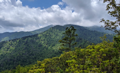
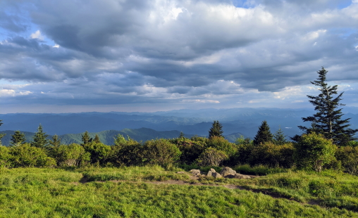
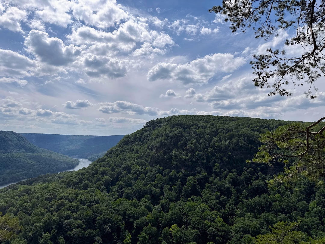
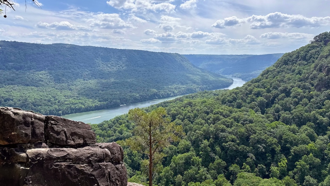
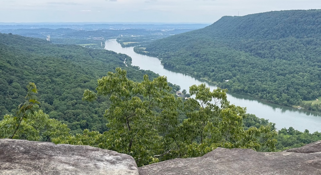
Edwards Point sits on the bluff of Signal Mountain overlooking the Tennessee River Gorge and the surrounding mountains of the Chattanooga Valley. It is one of the more rewarding viewpoints in the area, and getting there via the Cumberland Trail from Signal Point makes for a genuinely adventurous hike, more so than the destination alone might suggest.
A note on parking: the Rainbow Lake trailhead fills up fast, especially on weekends. If you find it full, Signal Point is a short distance away and serves as a perfectly good alternative starting point, which is exactly what I did on this trip. From Signal Point you have two options to start: road walk to the Rainbow Lake trailhead, or head straight onto the Cumberland Trail which has its own trailhead right at Signal Point. The trail option adds some challenge but is far more enjoyable, and on a day like this one, it was an easy choice.
One welcome improvement worth noting early on the trail: two sections of stairs that were long overdue for attention have been replaced with solid metal frame and wooden plank steps. A small thing, but a meaningful one for anyone who has navigated the old deteriorating versions.
The section of Cumberland Trail between Signal Point and where it ties back into the Rainbow Lake Trail is the more interesting half of the hike, rocky and relentless, with very little flat walking. The terrain keeps you honest, not technical scrambling, but the kind of rocky surface where you are constantly stepping up and over rather than walking a smooth worn path. Far less traveled than the main approach, and all the better for it.
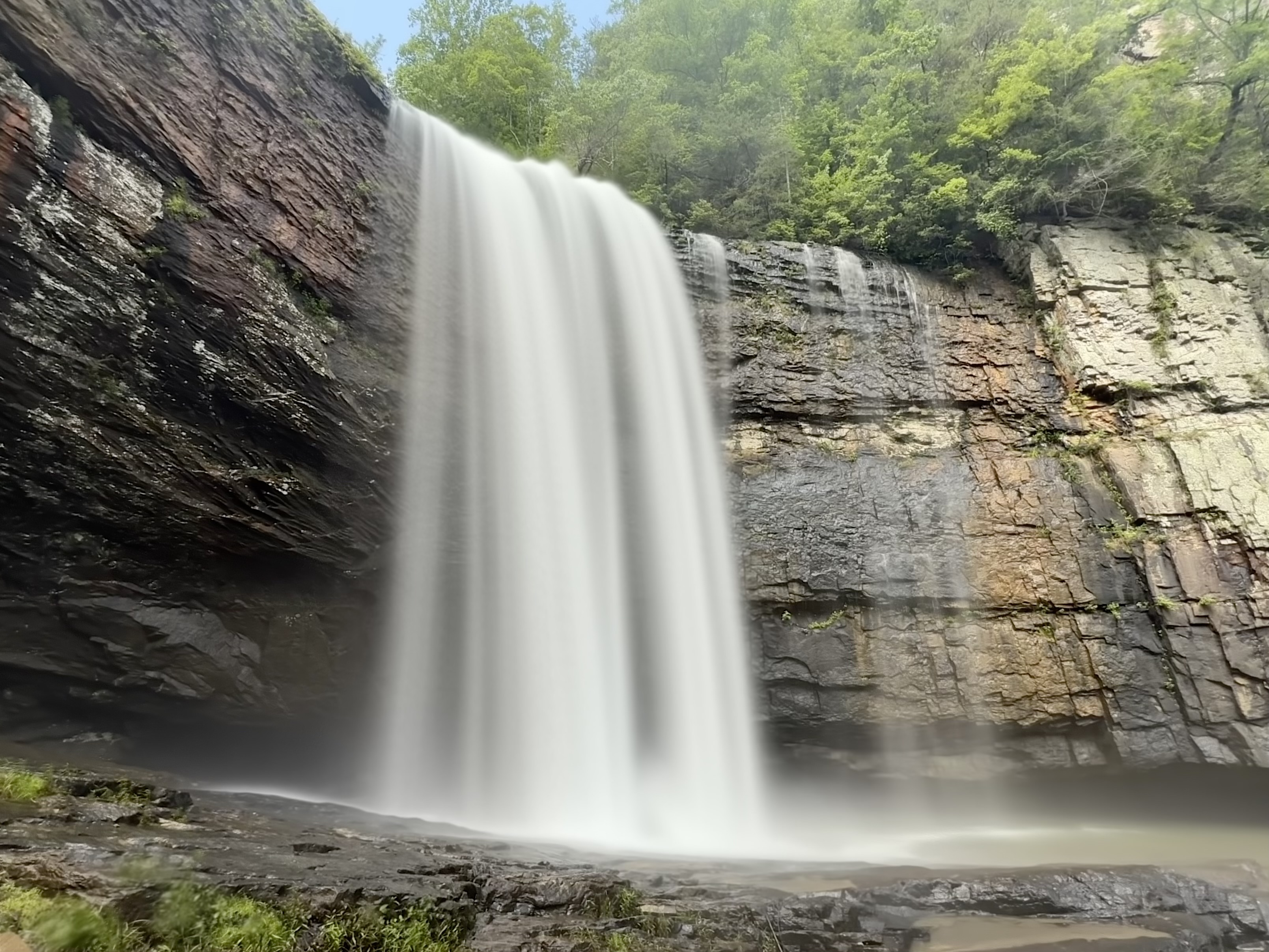
Julia Falls is a wet-weather waterfall visible from an overlook across the valley along this section. On my visit the water level was low and tree cover may have obscured it further. I didn't spend much time searching for it, partly because the water wasn't flowing well and partly because this section of trail was an unplanned addition to the day. Worth a look when water levels are up.
Further along you will pass the descent to Rainbow Falls. It is steep, with ropes to assist, and not something I would recommend attempting alone. I have now passed it twice without going down, and at this point I am calling it the falls that got away. It will remain on the list for a future trip with a hiking partner.
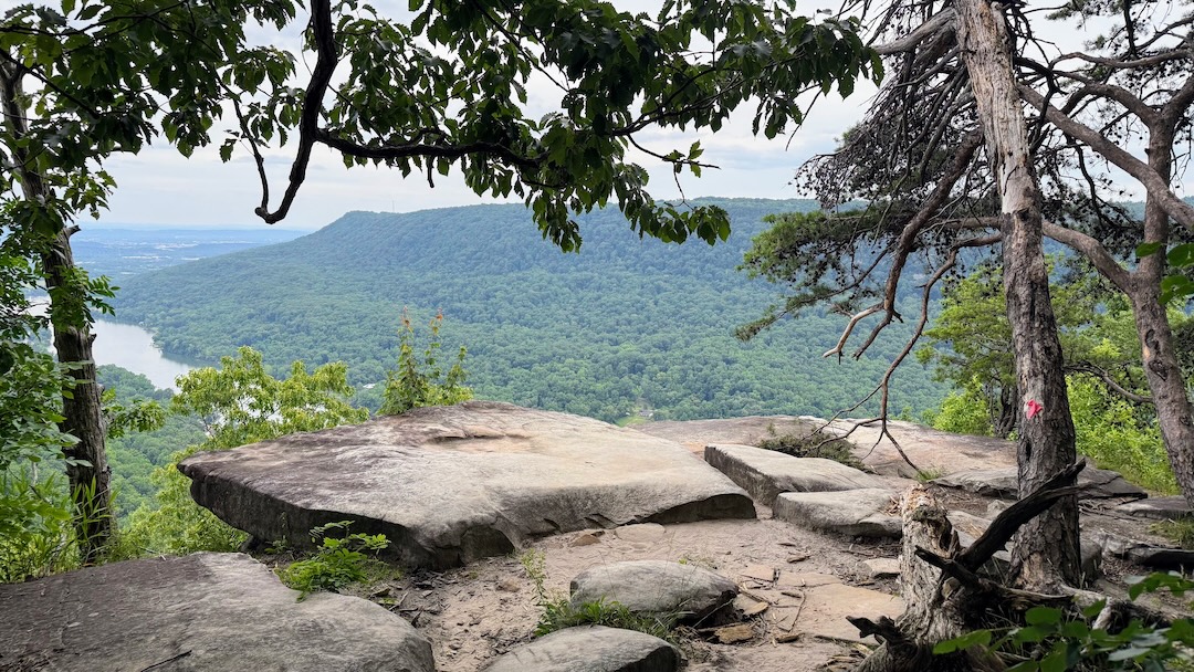
The trail eventually descends to meet Middle Creek, where a bridge that looks to have been replaced within the past couple of years carries you across. From there the trail climbs up the Edwards Point side, which is where it earns its reputation. It beat me up considerably, but the flat stretch at the top is a welcome recovery. The point itself delivers. To the east, Middle Creek and Williams Island sit at the confluence with the Tennessee River, with downtown Chattanooga somewhere beyond, too far for the naked eye on a hazy afternoon but present in the knowledge that it is there. To the west the Tennessee River Gorge opens up in full. It is a view worth the effort.
On the return via the Cumberland Trail, a barred owl called out somewhere above the canopy. If you spend enough time in these woods, you learn to listen for them. Their call, who cooks for you, has a way of making a solo hike feel a little less solitary.
Near the top of the climb to the Rainbow Lake trailhead the trail branches in a few places. Follow the more well worn path back to the trailhead. You will also cross an old cement path leading to a historic spring. It is not the trail, and I would not trust it given likely erosion underneath. From the trailhead it is a road walk back to Signal Point, mostly level or downhill.
The trail is heavily used, and unfortunately that shows. I did spot some trash in a few places, especially by the creek. It keeps the rating from climbing higher than it deserves based on the experience alone. A cleaner, less impacted version of this hike would easily rate higher. As it stands, I rate it 8/10.