Spruce Flats Falls

| Trailhead Coordinates | 35.6417003, -83.689724 |
| Waterfall Coordinates | 35.634302, -83.681954 |
| Waterfall Height | 30 ft (9.1 m) |
| Hike Distance | 1.7 mi (2.7 km) |
| Elevation Gain | 452 ft (137.7 m) |
| Rating (out of 10) | 8 |
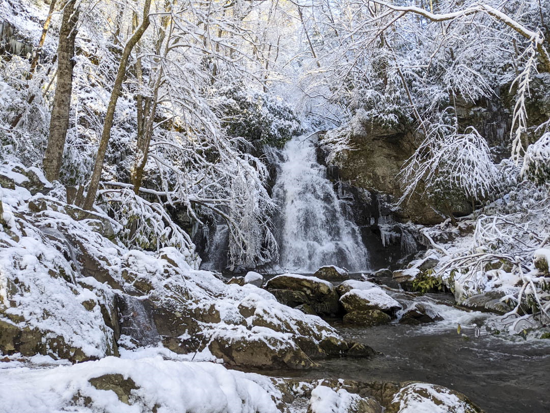
Spruce Flats Falls is a very nice waterfall, it was absolutely beautiful when we visited with the fresh snow.
The hike shouldn't be too difficult in the warmer months, but since we did this hike in the winter, the trail was icy. It wasn't horrible, we just had to be careful so not to slip. It was still worth the visit, even with those conditions.
We didn't see too many other groups, but I would suspect it could get quite busy in the warmer seasons, so be prepared. I may visit again when it is warmer because I quite enjoyed these falls.
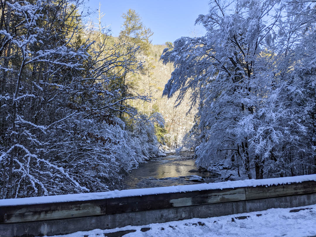
I did not get a log of the hike, but I did get one from one of my resources. It's about 1.7 miles round trip and well marked. There is a little less than 500 feet in elevation gain. The trail starts near the Great Smoky Mountains Institute at Tremont. You will cross the river (picture below) that the falls eventually lead to, and up a paved path by the housing for the institute, and then catch the trail to the falls. There are plenty of switchbacks for the steeper sections, so as with many hikes I have listed, just take your time and you'll be fine.
As for my rating of the falls, I will rate it 8/10, at least for my visit. There wasn't a crowd to speak of and the fresh snow that had fallen the night before made it absolutely magical.
